
 Free and open source software (FOSS) for GIS continues to increase in functionality and usability, and offers a flexible and economic option for organization that want to create online maps; however, beginners face a broad array of software choices and may not know which FOSS products and packages to deploy in each tier of the web map architecture. Compounding the problem is the fact that much documentation for FOSS GIS is fragmented among these tier-specific products and does not provide end-to-end workflows for designing and publishing cartographic web services and assembling them into an online map product.
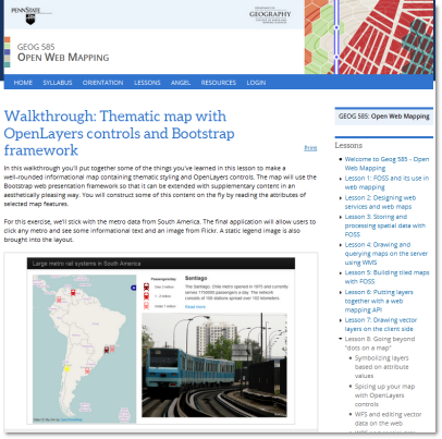
In response to these needs, I developed an online course for Penn State University entitled Open Web Mapping. The lessons explain the theory and architecture of web mapping, while walking beginners through the process of deploying online maps with FOSS. Software such as QGIS, GDAL, GeoServer, TileMill, and OpenLayers is introduced as students work through the data processing stage to the final display of interactive web service layers in a browser-based map. All course materials are available under a Creative Commons license.
In 2015, I was awarded the GeoForAll Global Educator of the Year Award (Individual category) by the OSGeo Foundation for development of this course.
View a talk about the course development and content
This is a talk I gave at FOSS4G 2014 about the development and content of the Open Web Mapping course.